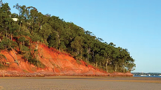
The red cliffs of Coochie. Photo: Supplied.
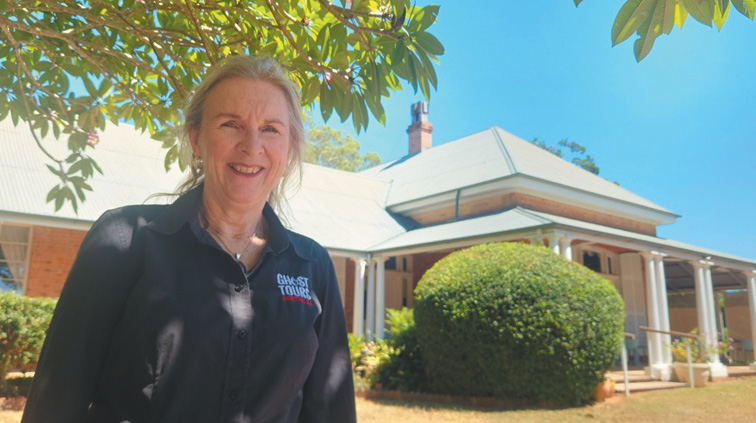
BY JILL GREENHILL, WYNNUM MANLY HISTORICAL SOCIETY
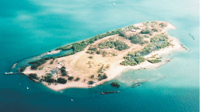
Board the ferry at Victoria Point for a seven-minute ride to the island of Coochiemudlo. Here is a minute island, only five square kilometres in size.
Evidence of at least 25,000 years of Aboriginal occupation is acknowledged by the presence of traces of shell middens and stone mortars.
The spiritual significance of the iron-rich red ochre cliffs, on island’s south western flank, visible from the mainland, gave the name Goochi-mudlo (red earth/stone) in the Jandai language of the Quandamooka people.
The first European to step onto the island on 19 July 1799 was Lieutenant Matthew Flinders, during his voyage of exploration in the “Norfolk”, to find navigable rivers north of Sydney.
Flinders had sailed into Moreton Bay but did not discover the Brisbane River. He referred to Coochie as the Sixth Island. A re-enactment of his landing is celebrated annually on the Sunday nearest to 19 July, at Norfolk Beach, on the east side of the island. This beach was named in 1977 and gazetted in 1982. A stone monument to record Flinders’ landing can be found there.
Government Surveyor, Robert Dixon, named the island “Innis Island” in 1840, in honour of Lieutenant Innis, who had recently explored southern Moreton Bay. This name stayed in place until the 1880s. The island’s name then reverted to the original Aboriginal name, but was anglicized as Coochiemudlo.
The island was granted to the Queensland Acclimatization Society in 1868. The Society’s task was to import plants that could have commercial potential, and to conduct experiments to determine if they could be adapted to Queensland’s tropical and subtropical climate. The grant was declined.
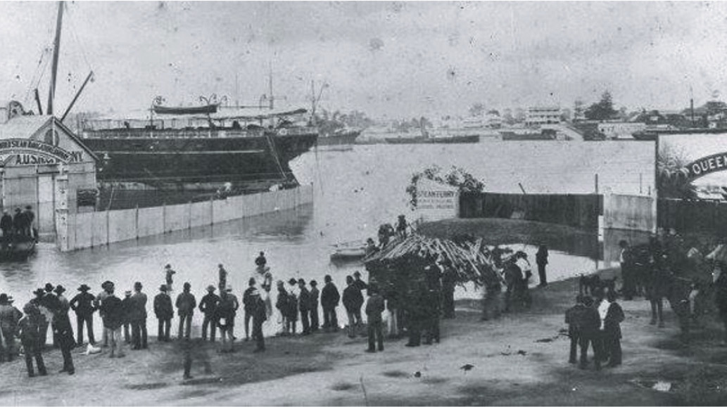
In the 1880s bullock teams were swum over from the mainland to drag the felled trees down to the sea for use in the construction of wharves in Brisbane. The Moreton Bay Oyster Company took oysters from beds surrounding the island.
Interest was aroused again 1887 in developing the potential of the island. The western side of the island was subdivided into one-acre lots for the future growth of bananas, passionfruit, grapes, paw paws, pineapples, tomatoes, vegetables and custard apples.
The first auction of this crown land was on 24 January 1888. Ninety allotments were advertised but no one showed any interest in settling on the island.
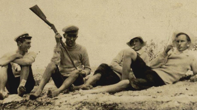
In 1896 Henry Wright and his son Norman set up camp. They left “this god forsaken place” in about 1900. The sandflies and mosquitoes were intolerable. Norman Wright went on to build Norman Wright and Sons, a nationally respected boat building firm.
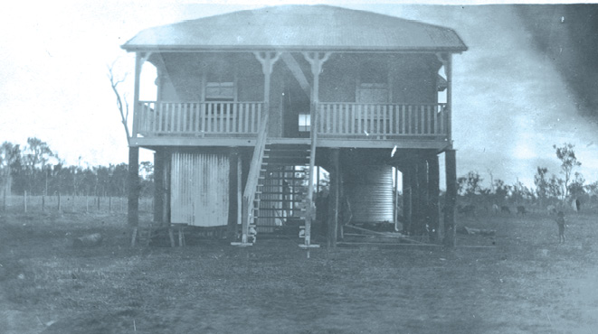
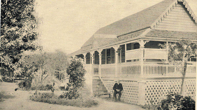
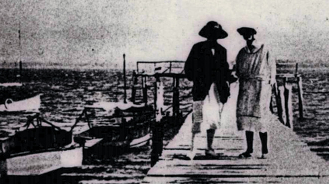
The land, though subdivided, was unoccupied and was exploited for timber and for grazing of cattle, swum across from the Victoria Point farms. Prior to WW1, Mr Morcom cleared the southwest corner and built the first farmhouse. But the project was not viable. Phillip Forrest purchased this farmhouse in 1919 and offered Doug Morton and Eric Gardon, both ex WW1 survivors, the opportunity to share-farm the property.
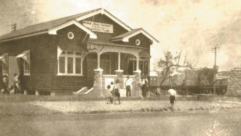
Doug Morton stayed there for 40 years and made a success of the venture. He married Mary Colburn in 1921 and Mary was the only female on the island for the next 12 years. Doug was the initiator of the tourist industry in the 1930s. He built several jetties and the golf course in the southwest corner of the island. The Mortons left the island in 1966 when they felt the place was too crowded.
During WWII the island was home to the 42 and 43 Landing Craft Companies who trained there, then served with distinction in New Guinea and Bougainvillea in 1945. Trainees included Sir Frank Packer, Sir Ninian Stephen and Sir Nigel Bowen.
The farming era was over by the late 1950s when many of the leases were bought and subdivided by two real estate agents. Alfred Grant bought land to the east and Richard Marsh to the north and west. But the subdivisions were small, only suitable for holiday cottages. So, in the 1960s, sales were few with only 20 people living on the island by 1970.
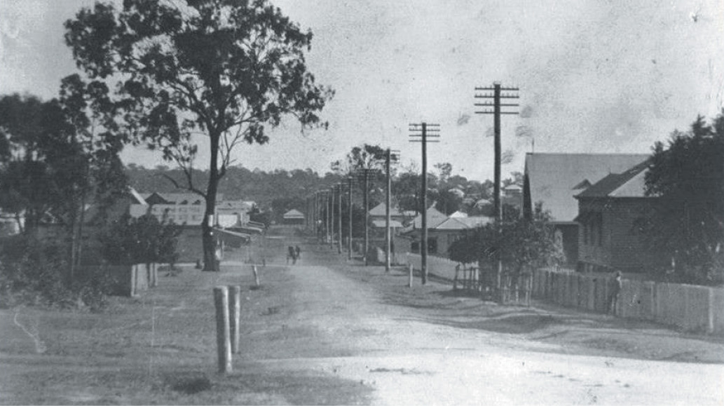
Infrastructure development increased rapidly in the 1970s. A new concrete jetty was built in 1971. The island was connected to the town water supply. A community hall was built in 1973. Electricity was connected in 1978. There was a regular ferry service. The vehicular barge came in 1987. Unfortunately, connection to underground sewage was not available until 2006. But the level of permanent residency rose.
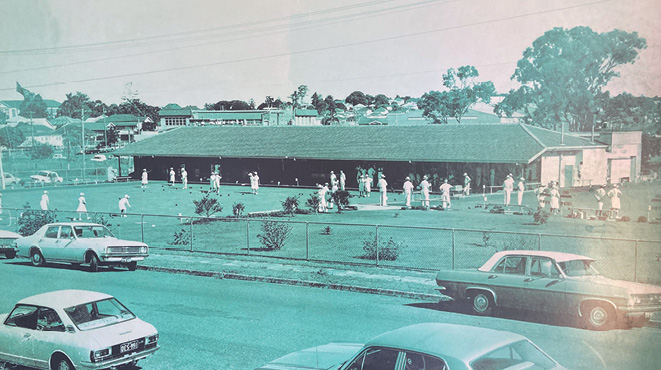
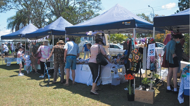
A land management plan was drawn up to preserve the foreshore and prevent the building of waterfront houses. This “Emerald Fringe” gives the island an air of mystery. The society of the island is now diverse, ranging from permanent and temporary residents, retirees, professionals, artists, writers and trades people. Community groups include a Progress Association, an Art Group and Life Saving Volunteers. Sporting facilities exist for golf, tennis, croquet and bowls.